
Into the clouds: DOOC and our new airspace at Snaisholme
First day of testing with the DOOC aircraft and its cloud-sensing payload
Clouds are one of the largest remaining uncertainties in climate science. We know they matter enormously for how much the planet warms; we're much less sure exactly how they'll respond. Part of the reason is that the inside of a cloud is a difficult place to put an instrument. DOOC — Drone Observations of Clouds — is about taking measurements where they're hardest and most valuable: in and around the clouds themselves.
We're doing it with Dr Declan Finney, a UKRI Future Leaders Fellow at the University of Leeds, whose fellowship is dedicated to understanding the role clouds play in weather and climate. Menapia brings the aircraft, the instruments and the flight operations; Declan brings the science and leadership.
Flying instruments into cloud
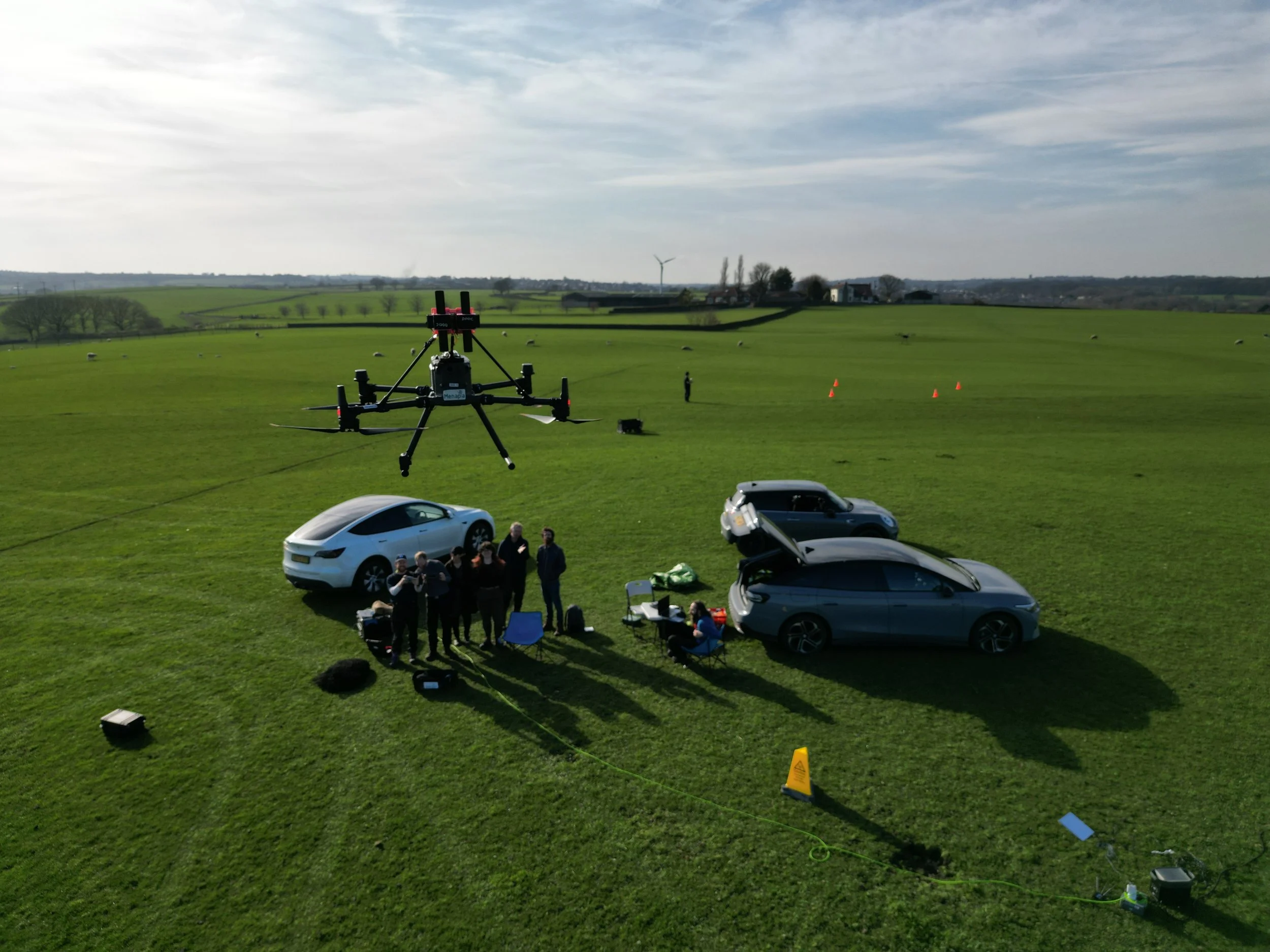
Measuring a cloud from the inside means carrying delicate instruments — sensing the size and number of the droplets, and the temperature and humidity around them — up into air that is potentially trying to ice up your aircraft. Our first integration flights carried a UCASS-N3 optical particle sensor — which sizes and counts individual droplets — alongside our own temperature, humidity and pressure stack. Supercooled droplets, near-saturated air and the freezing that follows are exactly the conditions that make cloud physics interesting, and exactly the ones that make flying there hard. Getting a drone to do useful work in that environment is the engineering problem underneath the science. It's also why our cold-weather work — propeller coatings and de-icing — feeds directly into DOOC.
The milestone: airspace, and the height to use it
You can't fly into clouds on the same permissions that let you fly a drone over a field. Clouds live higher than routine drone operations are allowed to go, so doing this properly meant securing both the airspace and the authorisation to climb into it.
We now have both:
A dedicated block of airspace at Snaisholme in the Yorkshire Dales — the EGD493 temporary danger area (TDA) — reserved for this kind of high-altitude atmospheric work. (There's official, up-to-date status information on our EGD493 TDA Status page.)
Operational authorisation from the UK Civil Aviation Authority to use it. In plain terms, that's permission to fly our drones high above the ground and beyond the remote pilot's direct line of sight (formally, a CAA Operational Authorisation for high-altitude beyond-visual-line-of-sight — BVLOS — operations within the EGD493 TDA, up to 1.5 km). Those operations have just begun.
That combination — your own piece of sky and permission to use its full height — is what turns "we'd like to measure clouds" into "we can go and do it." Getting there is months of careful work with the regulator and local stakeholders, and it's exactly the groundwork that makes the science possible.
Before the Dales: proving it at home
Before any of that, we did the early flying at our own private test site on farmland near Leeds — shaking down the aircraft, the instruments and the procedures somewhere familiar before taking them up high in the Dales.
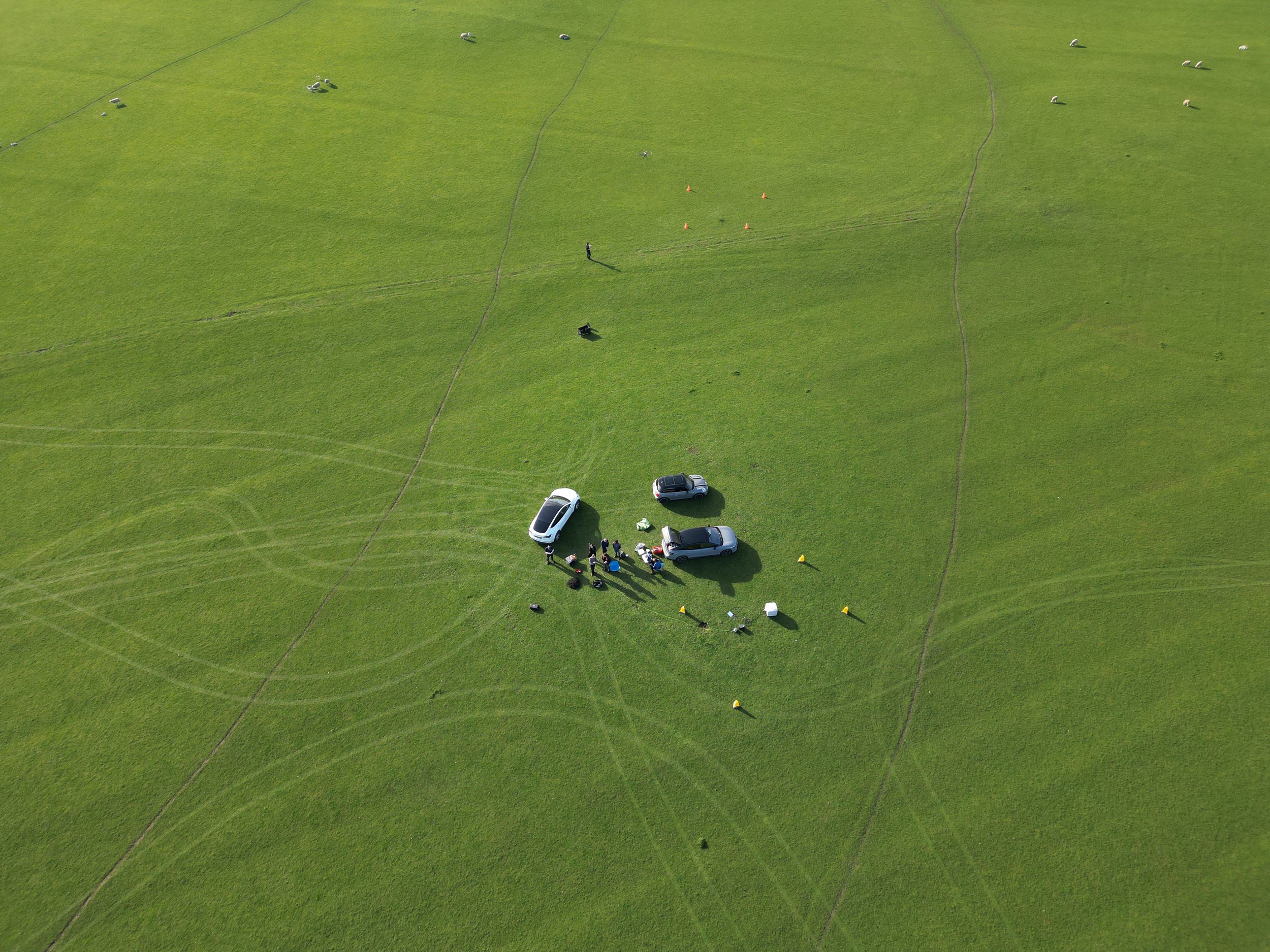
an aerial view of the DOOC test site on farmland near Leeds
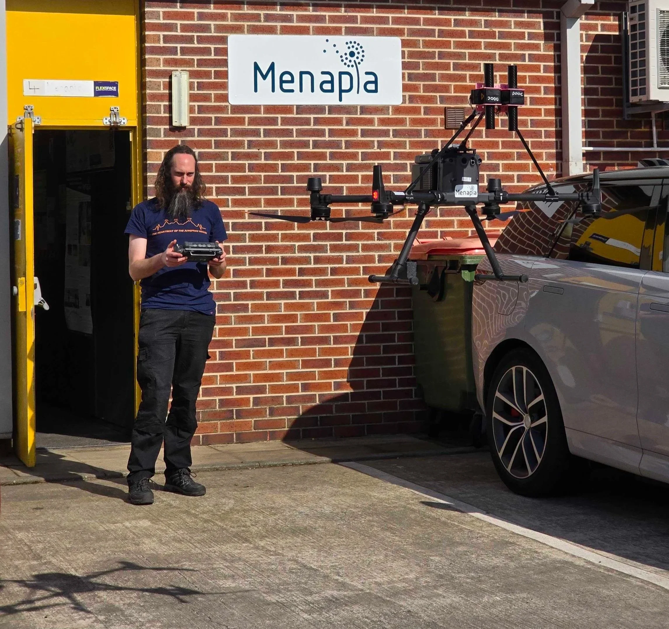
the DOOC aircraft and its cloud-sensing payload, tethered testing outside Menapia HQ
Some lovely video of the first profiles with Leeds city centre in the background:
What's next
With the airspace live and the authorisation in hand, DOOC moves from preparation to measurement. There's a lot of cloud over the Yorkshire Dales, and now we have the means to fly into it on purpose. More to come.
DOOC is a collaboration with Dr Declan Finney (UKRI Future Leaders Fellow, University of Leeds).